GIS Factory
The GIS Factory provides opportunities for students to work on client-based projects that require mapping and spatial analysis. Students not only practice and improve their GIS knowledge; they also learn valuable professional skills such as meeting deadlines, accommodating client needs in efficient and cost savings approaches, project time and cost estimation.
SERVICES
- Data Collection
- Mapping
- Spatial Analysis
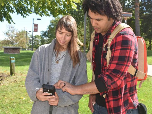
GIS (Geographic Information Systems) is increasingly important in a variety of applications such as transportation planning, business logistics, environmental analysis, and natural disaster research. The lab houses 30 dual monitor PC’s running ESRI GIS software, and has an interactive smart board and two ceiling mounted screen displays. In addition to the new lab space, the GIS program has expanded out to the field with two Juniper Geode GPS units with smartphones and portable WiFi for data collection and a Phantom 4 Pro v2 Mapping drone.
Students gain direct real-world paid experience working with clients on GIS-related projects, helping to prepare for the post-graduation job market. During its first year, the GIS Factory employed 3 students who worked on projects for the Root River Council and the UW-Parkside Athletic Department.
Community clients include Clients included the Uptown-Brass Neighborhood and the Brass Community School. (See below) Please contact John Ward at wardj@uwp.edu if you have questions about project and services.

PROGRAM CONTACT INFO
John Ward | 262-595-3327 | wardj@uwp.edu
